
Percorrer a Estrada N2 Chaves Faro trails
Click on a trail to view its statistics, map and profile.
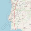
Percorrer a Estrada N2 (Chaves - Faro)
Distance: 726.4 Km • Elevation gain: 10,537 m • Maximum elevation: 976 m
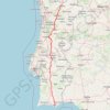
Percorrer a Estrada N2 (Chaves - Faro)
Distance: 726.4 Km • Elevation gain: 10,560 m • Maximum elevation: 973 m
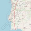
Percorrer a Estrada N2 (Chaves - Faro)
Distance: 726.4 Km • Elevation gain: 10,560 m • Maximum elevation: 973 m
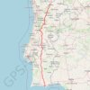
Percorrer a Estrada N2 (Chaves - Faro)
https://en-hk.gps-viewer.com/track-xhw5k/Percorrer-a-Estrada-N2-Chaves-Faro/
Distance: 726.4 Km • Elevation gain: 10,537 m • Maximum elevation: 976 m
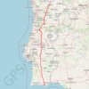
Percorrer a Estrada N2 (Chaves - Faro)
Distance: 726.4 Km • Elevation gain: 10,560 m • Maximum elevation: 973 m