
Municipal District of Ranchland No. 66 trails
Click on a trail to view its statistics, map and profile.
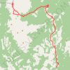
Tornado Mountain and "Whirlwind Tower"
Canada > Alberta > Municipal District of Ranchland No. 66
Distance: 35.3 Km • Elevation gain: 2,073 m • Maximum elevation: 3,057 m
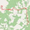
Gould Dome
Canada > Alberta > Municipal District of Ranchland No. 66
Distance: 18.8 Km • Elevation gain: 1,351 m • Maximum elevation: 2,867 m
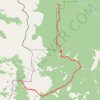
Great Divide Trail Dutch Creek Tornado Pass to Cache Creek
Canada > Alberta > Municipal District of Ranchland No. 66 > Area A (Upper Flathead/Elk Valley)
Distance: 20.6 Km • Elevation gain: 897 m • Maximum elevation: 2,475 m
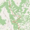
Great Divide Trail North Racehorse Creek to Dutch Creek Tornado Pass
Canada > Alberta > Municipal District of Ranchland No. 66
Distance: 15.3 Km • Elevation gain: 609 m • Maximum elevation: 1,974 m
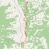
Great Divide Trail Window Mountain Lake to North Racehorse Creek
Canada > Alberta > Municipal District of Ranchland No. 66
Distance: 18.7 Km • Elevation gain: 925 m • Maximum elevation: 2,241 m