
Hawke's Bay trails
Click on a trail to view its statistics, map and profile.
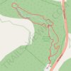
White Pine Bush Scenic Reserve Loop Track
New Zealand > Hawke's Bay > Hastings District
Distance: 1.9 Km • Elevation gain: 42 m • Maximum elevation: 265 m

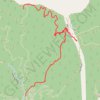
Rimrock lower&upper Eskdale MTB
New Zealand > Hawke's Bay > Hastings District
Distance: 3.7 Km • Elevation gain: 126 m • Maximum elevation: 256 m
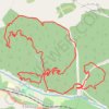
Eskdale MTB
New Zealand > Hawke's Bay > Hastings District
Distance: 19.1 Km • Elevation gain: 662 m • Maximum elevation: 276 m
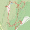
Blowhard Bush
New Zealand > Hawke's Bay > Hastings District
Distance: 4.7 Km • Elevation gain: 171 m • Maximum elevation: 819 m
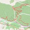
Eskdale MTB Trails
New Zealand > Hawke's Bay > Hastings District
Distance: 20.5 Km • Elevation gain: 620 m • Maximum elevation: 238 m
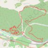
Eskdale
New Zealand > Hawke's Bay > Hastings District
Distance: 19.9 Km • Elevation gain: 612 m • Maximum elevation: 239 m
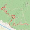
Beam Me Up Eskdale MTB
New Zealand > Hawke's Bay > Hastings District
Distance: 2.4 Km • Elevation gain: 198 m • Maximum elevation: 193 m
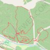
Eskdale MTB
New Zealand > Hawke's Bay > Hastings District
Distance: 20.0 Km • Elevation gain: 654 m • Maximum elevation: 249 m