
Carmarthenshire trails
Click on a trail to view its statistics, map and profile.
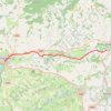
Bicycle journey from Carmarthen to Ffairfach and back, on the Tywi Valley Path
United Kingdom > Wales > Carmarthenshire > Carmarthen
Distance: 51.3 Km • Elevation gain: 349 m • Maximum elevation: 43 m
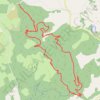
Brechfa Forest MTB Loop Ride
United Kingdom > Wales > Carmarthenshire
Distance: 22.0 Km • Elevation gain: 661 m • Maximum elevation: 352 m
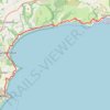
Pembrokeshire Coast National Park Pendine to Tenby
United Kingdom > Wales > Carmarthenshire > Pendine
Distance: 20.2 Km • Elevation gain: 905 m • Maximum elevation: 124 m
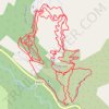
Hafod Trails
United Kingdom > Wales > Carmarthenshire > Llansawel
Distance: 6.3 Km • Elevation gain: 307 m • Maximum elevation: 278 m
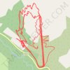
Hafod MTB Trails
United Kingdom > Wales > Carmarthenshire > Llansawel
Distance: 11.5 Km • Elevation gain: 583 m • Maximum elevation: 279 m