
Mongolia trails
Click on a trail to view its statistics, map and profile.
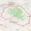
A century solo ride - clockwise cycling the Bogd mountain #PowerMap #StatMaps
Distance: 105.9 Km • Elevation gain: 1,046 m • Maximum elevation: 1,671 m
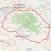
A century solo ride - clockwise cycling the Bogd mountain #PowerMap #StatMaps
Distance: 105.9 Km • Elevation gain: 1,046 m • Maximum elevation: 1,671 m
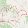
UDA 7 davaa challenge
Distance: 135.2 Km • Elevation gain: 2,583 m • Maximum elevation: 2,015 m
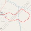
GOTOES Export
Mongolia > Darkhan-Uul > Darkhan
Distance: 87.0 Km • Elevation gain: 1,316 m • Maximum elevation: 1,071 m
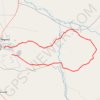
GOTOES Export
Mongolia > Darkhan-Uul > Darkhan
Created with GOTOES STRAVA TOOLS Version 22.9
Distance: 87.0 Km • Elevation gain: 1,316 m • Maximum elevation: 1,071 m
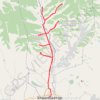
Зуслан чэллэнж
Distance: 79.2 Km • Elevation gain: 1,330 m • Maximum elevation: 1,634 m
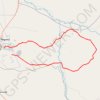
GOTOES Export
Mongolia > Darkhan-Uul > Darkhan
Created with GOTOES STRAVA TOOLS Version 22.9
Distance: 87.0 Km • Elevation gain: 1,316 m • Maximum elevation: 1,071 m