
Oudenaarde trails
Click on a trail to view its statistics, map and profile.
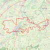
Ronde van Vlaanderen fietsroute gele lus
Belgium > East Flanders > Oudenaarde > Oudenaarde
Distance: 102.0 Km • Elevation gain: 884 m • Maximum elevation: 92 m
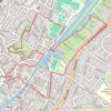
Oudenaarde-7k
Belgium > East Flanders > Oudenaarde > Oudenaarde
name=oudenaarde-7k
Distance: 6.9 Km • Elevation gain: 23 m • Maximum elevation: 17 m
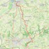
GR129 - Oudenaarde-Ellezelles
Belgium > East Flanders > Oudenaarde > Oudenaarde
name=GR129 - Oudenaarde-Ellezelles
Distance: 18.8 Km • Elevation gain: 370 m • Maximum elevation: 138 m
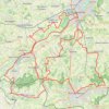
Ronde van Vlaanderen fietsroute blauwe lus
Belgium > East Flanders > Oudenaarde > Oudenaarde
Distance: 80.4 Km • Elevation gain: 816 m • Maximum elevation: 153 m
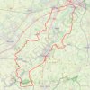
100K
Belgium > East Flanders > Oudenaarde > Oudenaarde
name=100K
Distance: 102.5 Km • Elevation gain: 595 m • Maximum elevation: 129 m
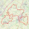
Ename Classic 2022 - 89 km
Belgium > East Flanders > Oudenaarde > Oudenaarde
Distance: 89.4 Km • Elevation gain: 787 m • Maximum elevation: 103 m