
Benton County trails
Click on a trail to view its statistics, map and profile.
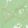
Gravel road around Alsea Falls
United States > Oregon > Benton County
Distance: 70.5 Km • Elevation gain: 2,460 m • Maximum elevation: 903 m
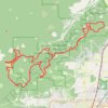
MacDonald Forest Trail Run 50K 2026
United States > Oregon > Benton County
Distance: 52.4 Km • Elevation gain: 2,201 m • Maximum elevation: 644 m
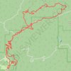
Tum Tum and Marys Peak
United States > Oregon > Benton County
Distance: 36.2 Km • Elevation gain: 1,650 m • Maximum elevation: 1,241 m
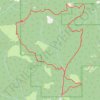
McCulloch Peak Loop Hike in McDonald Forest
United States > Oregon > Benton County
Distance: 14.9 Km • Elevation gain: 672 m • Maximum elevation: 644 m
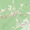
Unmapped logging road south of Marys river
United States > Oregon > Benton County > Harris
Distance: 27.3 Km • Elevation gain: 666 m • Maximum elevation: 279 m
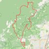
Trails and roads around Dunn Forest
United States > Oregon > Benton County
Distance: 43.6 Km • Elevation gain: 1,516 m • Maximum elevation: 571 m