
Eastham trails
Click on a trail to view its statistics, map and profile.
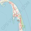
Cape Cod Fire Roads
United States > Massachusetts > Barnstable County > Eastham
Cape Cod National Seashore
Distance: 97.7 Km • Elevation gain: 795 m • Maximum elevation: 36 m
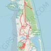
GravelBike CapeCod
United States > Massachusetts > Barnstable County > Eastham
Afternoon Ride
Distance: 56.7 Km • Elevation gain: 253 m • Maximum elevation: 19 m
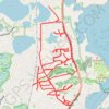
Wandering Eastham
United States > Massachusetts > Barnstable County > Eastham
Distance: 20.2 Km • Elevation gain: 90 m • Maximum elevation: 14 m