Import a GPX file

Castle Rock

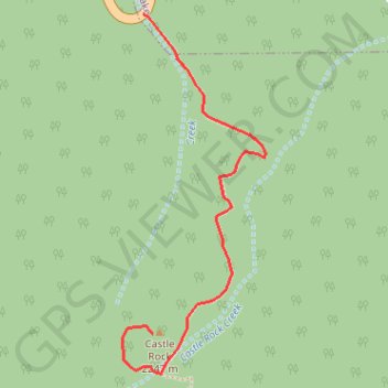
Hike to the Castle Rock from Big Bear Lake along the Castle Rock Creek in the San Bernardino National Forest. #Hiking #Mountain #Forest #River #Lake #Nature

  • Distance: 1.2 Km
  • Elevation gain: 161 m
  • Maximum elevation: 2,254 m
  • Elevation loss: 6 m
  • Minimum elevation: 2,093 m

Interactive trail map

Trail profile

  • Distance: 1.2 Km
  • Elevation gain: 161 m
  • Maximum elevation: 2,254 m
  • Elevation loss: 6 m
  • Minimum elevation: 2,093 m

About this trail
Gear up for your next adventure:

🥄Titanium Sporks - Indestructible and ultralight eating utensil
🔒Outdoor Gear Locks - Secure your equipment
🩴Trail Running Shoes - Fast, grippy shoes for trail runs
🫗Collapsible Water Bottles - Space‑saving hydration
📡Satellite Messengers - Emergency communication for remote areas without signal

As an Amazon Associate, this site earns from qualifying purchases at no extra cost to you.