
Arch Rock
- Distance: 2.0 Km
- Elevation gain: 40 m
- Maximum elevation: 16 m
- Elevation loss: 39 m
- Minimum elevation: 1 m
Interactive trail map
Trail profile
- Distance: 2.0 Km
- Elevation gain: 40 m
- Maximum elevation: 16 m
- Elevation loss: 39 m
- Minimum elevation: 1 m
About this trail
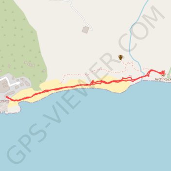
Name: Arch Rock trail, distance, elevation, map, profile, GPS track
Coordinates: -34.00368 23.46190 -34.00217 23.47124