Walk underneath I-10
Walk along trail and tracks
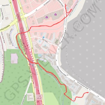
- Distance: 5.2 Km
- Elevation gain: 32 m
- Maximum elevation: 318 m
- Elevation loss: 32 m
- Minimum elevation: 305 m
- Moving time: 54 m 15 s
- Moving speed: 5.8 Km/h
- Maximum speed: 10.5 Km/h
- Total time: 55 m 24 s
- Global speed: 5.7 Km/h
Interactive trail map
Trail profile
- Distance: 5.2 Km
- Elevation gain: 32 m
- Maximum elevation: 318 m
- Elevation loss: 32 m
- Minimum elevation: 305 m
- Moving time: 54 m 15 s
- Moving speed: 5.8 Km/h
- Maximum speed: 10.5 Km/h
- Total time: 55 m 24 s
- Global speed: 5.7 Km/h
About this trail
Name: Walk underneath I-10 trail, distance, elevation, map, profile, GPS track
Coordinates: 29.59590 -98.60230 29.60736 -98.59247