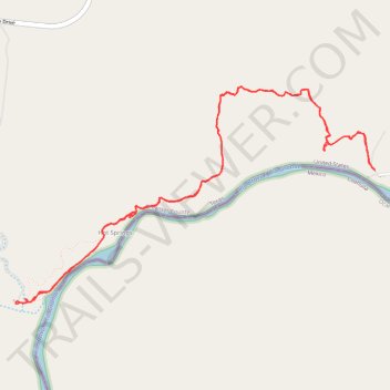
Rio Grande Village to Hot Springs out and back
- Distance: 10.0 Km
- Elevation gain: 293 m
- Maximum elevation: 668 m
- Elevation loss: 293 m
- Minimum elevation: 562 m
- Moving time: 3 h 10 m
- Moving speed: 3.1 Km/h
- Maximum speed: 5.3 Km/h
- Total time: 4 h 34 m
- Global speed: 2.2 Km/h
Interactive trail map
Trail profile
- Distance: 10.0 Km
- Elevation gain: 293 m
- Maximum elevation: 668 m
- Elevation loss: 293 m
- Minimum elevation: 562 m
- Moving time: 3 h 10 m
- Moving speed: 3.1 Km/h
- Maximum speed: 5.3 Km/h
- Total time: 4 h 34 m
- Global speed: 2.2 Km/h
About this trail
Name: Rio Grande Village to Hot Springs out and back trail, distance, elevation, map, profile, GPS track
Start: Daniels Ranch Road, Rio Grande Village, Brewster County, Texas, United States (29.18621 -102.97241)
End: Daniels Ranch Road, Rio Grande Village, Brewster County, Texas, United States (29.18622 -102.97243)
Coordinates: 29.17740 -102.99972 29.19178 -102.97241