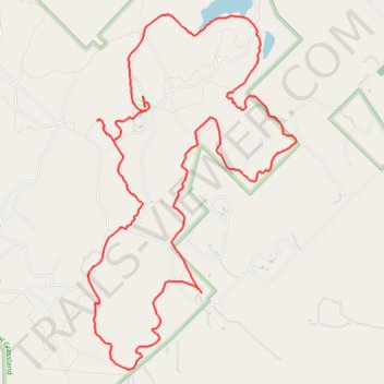
Lyndon B. Johnson National Grassland Red Trail
- Distance: 16.0 Km
- Elevation gain: 143 m
- Maximum elevation: 339 m
- Elevation loss: 143 m
- Minimum elevation: 270 m
- Moving time: 3 h 16 m
- Moving speed: 4.9 Km/h
- Maximum speed: 6.6 Km/h
- Total time: 3 h 18 m
- Global speed: 4.8 Km/h
Interactive trail map
Trail profile
- Distance: 16.0 Km
- Elevation gain: 143 m
- Maximum elevation: 339 m
- Elevation loss: 143 m
- Minimum elevation: 270 m
- Moving time: 3 h 16 m
- Moving speed: 4.9 Km/h
- Maximum speed: 6.6 Km/h
- Total time: 3 h 18 m
- Global speed: 4.8 Km/h
About this trail
Name: Lyndon B. Johnson National Grassland Red Trail trail, distance, elevation, map, profile, GPS track
Start: Wise County, Texas, United States (33.37445 -97.58388)
End: Wise County, Texas, United States (33.37492 -97.58411)
Coordinates: 33.34893 -97.59077 33.38384 -97.56627