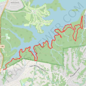
Loch Raven Reservoir south via Sam's Grave Trail and Glen Ellen Lower Trail
- Distance: 18.0 Km
- Elevation gain: 289 m
- Maximum elevation: 148 m
- Elevation loss: 289 m
- Minimum elevation: 72 m
- Moving time: 2 h 27 m
- Moving speed: 7.3 Km/h
- Maximum speed: 11.4 Km/h
- Total time: 2 h 33 m
- Global speed: 7.0 Km/h
Interactive trail map
Trail profile
- Distance: 18.0 Km
- Elevation gain: 289 m
- Maximum elevation: 148 m
- Elevation loss: 289 m
- Minimum elevation: 72 m
- Moving time: 2 h 27 m
- Moving speed: 7.3 Km/h
- Maximum speed: 11.4 Km/h
- Total time: 2 h 33 m
- Global speed: 7.0 Km/h
About this trail
Name: Loch Raven Reservoir south via Sam's Grave Trail and Glen Ellen Lower Trail trail, distance, elevation, map, profile, GPS track
Coordinates: 39.42498 -76.59550 39.44408 -76.55917