Import a GPX file

Grays Peak

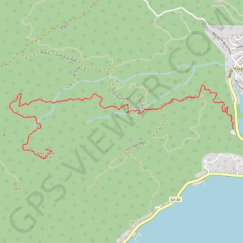
Hike from Big Bear Lake to Grays Peak in the San Bernardino National Forest. #Hiking #Mountain #Lake #Forest #Nature

  • Distance: 5.6 Km
  • Elevation gain: 373 m
  • Maximum elevation: 2,410 m
  • Elevation loss: 29 m
  • Minimum elevation: 2,064 m

Interactive trail map

Trail profile

  • Distance: 5.6 Km
  • Elevation gain: 373 m
  • Maximum elevation: 2,410 m
  • Elevation loss: 29 m
  • Minimum elevation: 2,064 m

About this trail
Gear up for your next adventure:

🪑Compact Camp Chairs - Comfortable seating after a long day of mapping
🧢Waterproof Caps - Keep rain off your face and glasses while hiking
🧥Packable Down Jackets - High warmth-to-weight ratio for summit breaks
🍖High-Protein Trail Snacks - Lightweight fuel for long distance treks
🥾Lightweight Hiking Shoes - Light, breathable shoes for trail walking

As an Amazon Associate, this site earns from qualifying purchases at no extra cost to you.