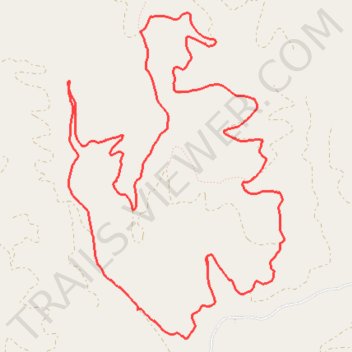
Tepee Ridge
- Distance: 12.4 Km
- Elevation gain: 427 m
- Maximum elevation: 1,584 m
- Elevation loss: 425 m
- Minimum elevation: 1,344 m
- Moving time: 1 h 25 m
- Moving speed: 8.8 Km/h
- Maximum speed: 29.8 Km/h
- Total time: 1 h 51 m
- Global speed: 6.7 Km/h
Interactive trail map
Trail profile
- Distance: 12.4 Km
- Elevation gain: 427 m
- Maximum elevation: 1,584 m
- Elevation loss: 425 m
- Minimum elevation: 1,344 m
- Moving time: 1 h 25 m
- Moving speed: 8.8 Km/h
- Maximum speed: 29.8 Km/h
- Total time: 1 h 51 m
- Global speed: 6.7 Km/h
About this trail
Name: Tepee Ridge trail, distance, elevation, map, profile, GPS track
Start: Howard Creek Road, Missoula County, Montana, United States (46.78143 -114.52422)
End: Howard Creek Road, Missoula County, Montana, United States (46.78152 -114.52405)
Coordinates: 46.77940 -114.53147 46.80265 -114.50891