Import a GPX file

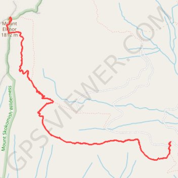
Mount Ellinor

Olympic National Forest. #Hiking #Mountain #Forest #Nature

  • Distance: 9.8 Km
  • Elevation gain: 1,019 m
  • Maximum elevation: 1,788 m
  • Elevation loss: 1,019 m
  • Minimum elevation: 803 m

Interactive trail map

Trail profile

  • Distance: 9.8 Km
  • Elevation gain: 1,019 m
  • Maximum elevation: 1,788 m
  • Elevation loss: 1,019 m
  • Minimum elevation: 803 m

About this trail
Gear up for your next adventure:

💡Hiking Headlamps - Hands‑free lights for night hikes
🔋Solar Power Banks - Keep your GPS and phone charged in the Irish wilderness
🎿Skiing Gear - Winter sports essentials
📱Rugged Smartphones - Waterproof phones with long battery for offline mapping
🛶Waterproof Dry Bags - Keep electronics and clothes dry during wet treks

As an Amazon Associate, this site earns from qualifying purchases at no extra cost to you.