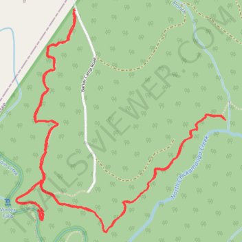
Vortex Falls and Panther Branch Overlook - North Chickamauga Creek Gorge State Park
- Distance: 9.5 Km
- Elevation gain: 440 m
- Maximum elevation: 551 m
- Elevation loss: 440 m
- Minimum elevation: 407 m
- Moving time: 2 h 29 m
- Moving speed: 3.8 Km/h
- Maximum speed: 6.3 Km/h
- Total time: 3 h 54 m
- Global speed: 2.4 Km/h
Interactive trail map
Trail profile
- Distance: 9.5 Km
- Elevation gain: 440 m
- Maximum elevation: 551 m
- Elevation loss: 440 m
- Minimum elevation: 407 m
- Moving time: 2 h 29 m
- Moving speed: 3.8 Km/h
- Maximum speed: 6.3 Km/h
- Total time: 3 h 54 m
- Global speed: 2.4 Km/h
About this trail
Name: Vortex Falls and Panther Branch Overlook - North Chickamauga Creek Gorge State Park trail, distance, elevation, map, profile, GPS track
Start: Barker Camp Road, Hamilton County, East Tennessee, Tennessee, United States (35.27140 -85.28505)
Coordinates: 35.25665 -85.28988 35.27148 -85.27286