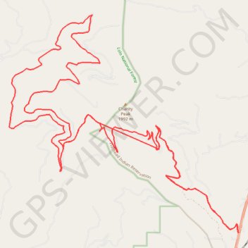
Charity peak area arlee to above frenchtown area
- Distance: 43.8 Km
- Elevation gain: 1,258 m
- Maximum elevation: 1,889 m
- Elevation loss: 1,258 m
- Minimum elevation: 1,213 m
Interactive trail map
Trail profile
- Distance: 43.8 Km
- Elevation gain: 1,258 m
- Maximum elevation: 1,889 m
- Elevation loss: 1,258 m
- Minimum elevation: 1,213 m
About this trail
Name: Charity peak area arlee to above frenchtown area trail, distance, elevation, map, profile, GPS track
Start: Missoula County, Montana, United States (47.04492 -114.08192)
End: Missoula County, Montana, United States (47.04459 -114.08200)
Coordinates: 47.04412 -114.17426 47.10409 -114.08167
Other hiking, mountain biking, running and outdoor activity trails
Click on a trail to view its statistics, map and profile.
Bike ride on the slopes of Charity Peak
United States > Montana > Missoula County > Schley
Morning Ride
Distance: 16.4 Km • Elevation gain: 565 m • Maximum elevation: 1,556 m
Morning Mountain Bike Ride
United States > Montana > Missoula County > Schley
Distance: 20.9 Km • Elevation gain: 383 m • Maximum elevation: 1,237 m