
Malabar Farms Connector
- Distance: 3.3 Km
- Elevation gain: 20 m
- Maximum elevation: 330 m
- Elevation loss: 32 m
- Minimum elevation: 314 m
- Moving time: 31 m 23 s
- Moving speed: 6.3 Km/h
- Maximum speed: 21.5 Km/h
- Total time: 31 m 23 s
- Global speed: 6.3 Km/h
Interactive trail map
Trail profile
- Distance: 3.3 Km
- Elevation gain: 20 m
- Maximum elevation: 330 m
- Elevation loss: 32 m
- Minimum elevation: 314 m
- Moving time: 31 m 23 s
- Moving speed: 6.3 Km/h
- Maximum speed: 21.5 Km/h
- Total time: 31 m 23 s
- Global speed: 6.3 Km/h
About this trail
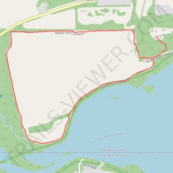
Name: Malabar Farms Connector trail, distance, elevation, map, profile, GPS track
Coordinates: 40.63898 -82.37297 40.64590 -82.36015