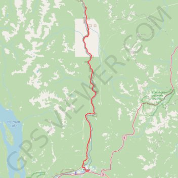
Hope - Boston Bar
Interactive trail map
Trail profile
- Distance: 77.2 Km
- Elevation gain: 1,569 m
- Maximum elevation: 374 m
- Elevation loss: 1,429 m
- Minimum elevation: 36 m
About this trail
Name: Hope - Boston Bar trail, distance, elevation, map, profile, GPS track
Coordinates: 49.37349 -121.46135 49.91346 -121.39294
Other hiking, mountain biking, running and outdoor activity trails
Click on a trail to view its statistics, map and profile.
Chilliwack - Hope
Canada > British Columbia > Fraser Valley Regional District > Chilliwack
Fraser River. #Bike
Distance: 67.0 Km • Elevation gain: 526 m • Maximum elevation: 88 m
Boston Bar - Spences Bridge
Canada > British Columbia > Fraser Valley Regional District > Area A (Boston Bar/North Bend/Canyon Alpine) > Canyon Alpine
Fraser River. #Bike
Distance: 77.0 Km • Elevation gain: 1,228 m • Maximum elevation: 365 m