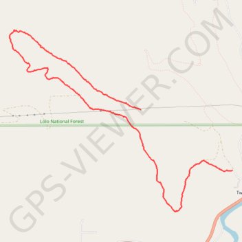
Twin Creek loop trail
- Distance: 7.9 Km
- Elevation gain: 257 m
- Maximum elevation: 1,385 m
- Elevation loss: 372 m
- Minimum elevation: 1,064 m
- Moving time: 1 h 39 m
- Moving speed: 4.8 Km/h
- Maximum speed: 10.7 Km/h
- Total time: 1 h 52 m
- Global speed: 4.2 Km/h
Interactive trail map
Trail profile
- Distance: 7.9 Km
- Elevation gain: 257 m
- Maximum elevation: 1,385 m
- Elevation loss: 372 m
- Minimum elevation: 1,064 m
- Moving time: 1 h 39 m
- Moving speed: 4.8 Km/h
- Maximum speed: 10.7 Km/h
- Total time: 1 h 52 m
- Global speed: 4.2 Km/h
About this trail
Name: Twin Creek loop trail trail, distance, elevation, map, profile, GPS track
Start: West Twin Creek Road, Twin Creeks, Missoula County, Montana, United States (46.92307 -113.73389)
End: West Twin Creek Road, Twin Creeks, Missoula County, Montana, United States (46.91544 -113.71705)
Coordinates: 46.91029 -113.75814 46.93300 -113.71705