Import a GPX file

Lepard Preserve

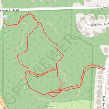
Loop hike through Lepard Preserve in Caledonia. #Hiking #Loop #Nature #Forest

  • Distance: 2.3 Km
  • Elevation gain: 24 m
  • Maximum elevation: 249 m
  • Elevation loss: 24 m
  • Minimum elevation: 234 m

Interactive trail map

Trail profile

  • Distance: 2.3 Km
  • Elevation gain: 24 m
  • Maximum elevation: 249 m
  • Elevation loss: 24 m
  • Minimum elevation: 234 m

About this trail
Gear up for your next adventure:

🚲Cycling GPS Computers - Topographic mapping for Irish road and mountain biking
🎁Outdoor Gift Ideas - Great gifts for adventurers
🧥Gore-Tex Rain Jackets - Breathable and fully waterproof shells for Irish weather
🔥Camping Stoves - Portable camping stoves for outdoor cooking
🕶️Polarized Sunglasses - Reduce glare outdoors

As an Amazon Associate, this site earns from qualifying purchases at no extra cost to you.