
TRK000
- Distance: 35.1 Km
- Elevation gain: 221 m
- Maximum elevation: 111 m
- Elevation loss: 221 m
- Minimum elevation: 62 m
Interactive trail map
Trail profile
- Distance: 35.1 Km
- Elevation gain: 221 m
- Maximum elevation: 111 m
- Elevation loss: 221 m
- Minimum elevation: 62 m
About this trail
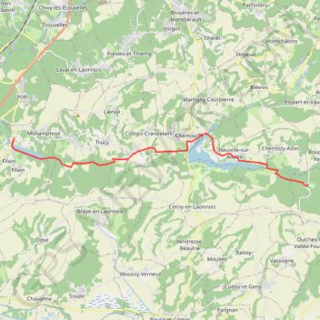
Name: TRK000 trail, distance, elevation, map, profile, GPS track
Coordinates: 49.45225 3.55199 49.47448 3.74369