Import a GPX file

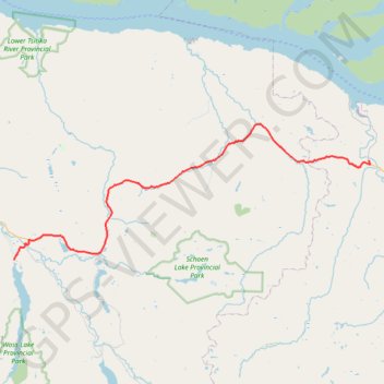
Sayward - Woss Lake

Vancouver Island. #Bike #Vancouver

  • Distance: 70.3 Km
  • Elevation gain: 937 m
  • Maximum elevation: 440 m
  • Elevation loss: 800 m
  • Minimum elevation: 21 m

Interactive trail map

Trail profile

  • Distance: 70.3 Km
  • Elevation gain: 937 m
  • Maximum elevation: 440 m
  • Elevation loss: 800 m
  • Minimum elevation: 21 m

About this trail
Gear up for your next adventure:

🏃Men's Trail Runners - Grip and speed for rugged Irish mountain running
🧴Anti-Chafe Sticks - Prevent friction during long distance walking
👣Waterproof Leg Gaiters - Keep bog water and debris out of your boots
🌦️Weatherproof Outdoor Gear - Protection from unpredictable weather
🧭Route Planning Books - Plan the best hiking routes

As an Amazon Associate, this site earns from qualifying purchases at no extra cost to you.