Import a GPX file

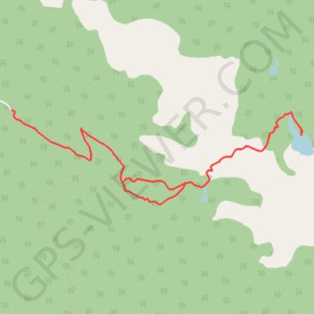
Mause Creek/Tangle Foot Trail

#Hiking #Lake #Forest #Mountain #Nature

  • Distance: 8.6 Km
  • Elevation gain: 641 m
  • Maximum elevation: 2,245 m
  • Elevation loss: 641 m
  • Minimum elevation: 1,755 m

Interactive trail map

Trail profile

  • Distance: 8.6 Km
  • Elevation gain: 641 m
  • Maximum elevation: 2,245 m
  • Elevation loss: 641 m
  • Minimum elevation: 1,755 m

About this trail
Gear up for your next adventure:

🔋Lithium Batteries - Best performance for digital devices in cold weather
🧼Biodegradable Soaps - Eco‑friendly soap for backpacking
🖼️Vintage Irish Map Prints - Decorative wall art for map lovers and geographers
⛷️Mountain Sports Accessories - Gear for high intensity outdoor sports
🧥Gore-Tex Rain Jackets - Breathable and fully waterproof shells for Irish weather

As an Amazon Associate, this site earns from qualifying purchases at no extra cost to you.